What is drone mapping?
High-resolution aerial maps, captured in hours instead of weeks.
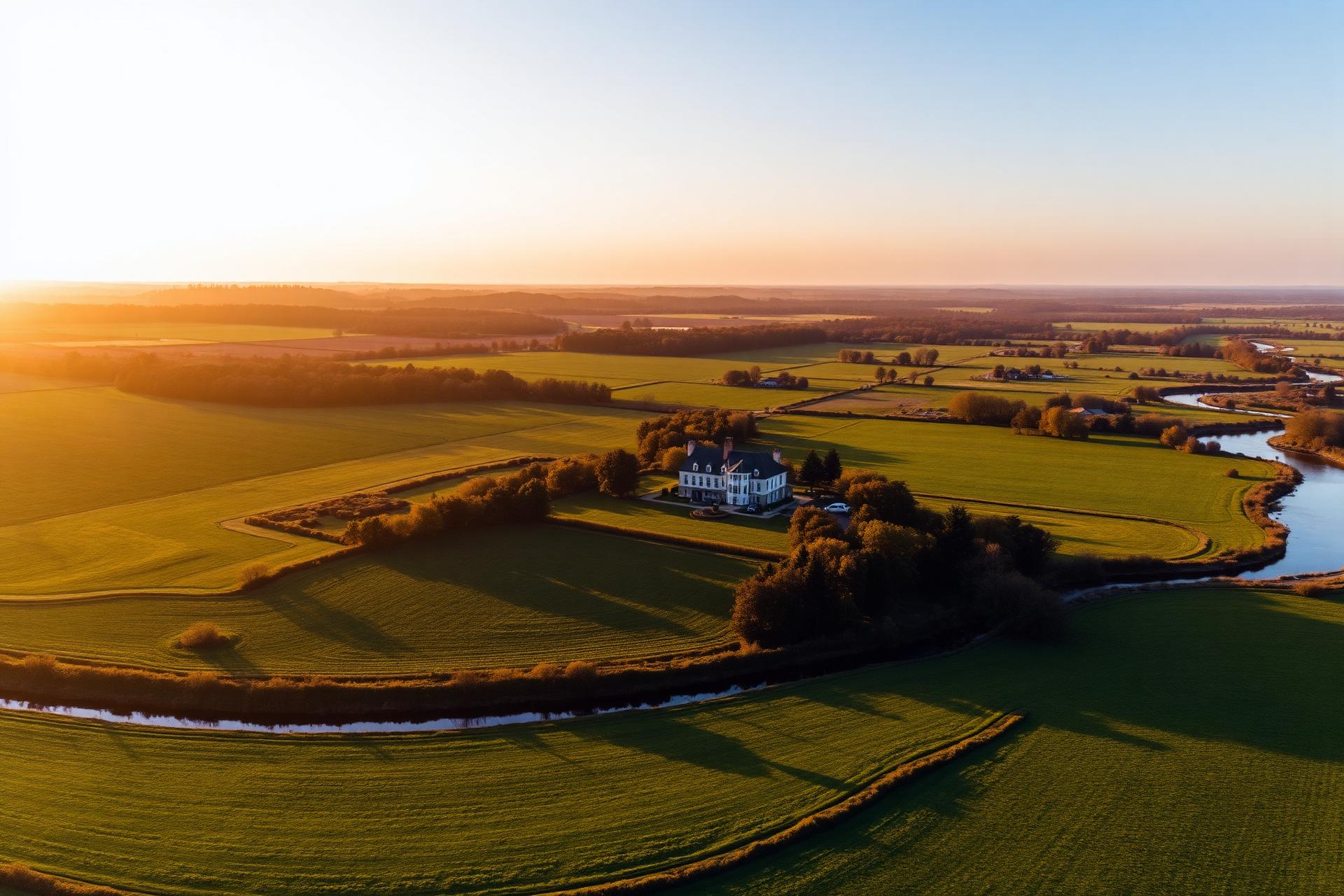
Drone mapping is the process of flying an autonomous, pre-planned grid pattern over a property and stitching the resulting high-resolution photos into a single, georeferenced map. The output is far more detailed than satellite imagery, completely up to date, and accurate enough to use for property boundary documentation, acreage verification, and pre-construction planning.
For landowners, farmers, and developers, that means a clear visual record of every fence line, drainage, road, treeline, and crop row — captured in a single flight and delivered as maps, overlays, and annotated reports you can share with buyers, lenders, agronomists, or contractors.
Use cases
Built for the people who work the land
Land surveying & boundaries
High-resolution orthomosaic maps and boundary overlays for landowners, real estate transactions, and pre-construction planning. Document fence lines, easements, and acreage in a fraction of the time of a walking survey.
Agricultural health monitoring
Spot irrigation issues, drainage problems, and stressed crops from above before they impact yield. Seasonal flights let farmers track field changes over time and make data-driven management decisions.
Ranch & livestock operations
Map pasture rotations, water sources, and fence-line conditions across large acreage. Ideal for ranchers managing thousands of acres who need an up-to-date visual record without putting miles on a truck.
Land development & site planning
Aerial maps and 3D terrain models for developers evaluating raw land, planning subdivisions, or documenting site conditions for permitting and design.
What you receive
Maps, overlays, and reports you can actually use.
Every drone mapping project at Cox Aerial is delivered as a package of finished assets — not raw files you have to process yourself.
- High-resolution orthomosaic maps (stitched aerial imagery)
- Property boundary overlays on satellite or aerial base maps
- Acreage and area measurements
- Elevation and terrain visualizations
- Annotated PDF reports for sharing with buyers, lenders, or partners
- Raw aerial photography and video of the mapped area
Pricing
From $500 — scoped to your acreage
Agricultural drone mapping packages range from $500 to $5,000 based on total acreage and project complexity. Property boundary overlays as an add-on start at $50. Every quote is custom — tell us about your property and we'll put together a flight plan and price that fits.
Request a personalized quoteFAQ
Common questions about drone mapping
What is drone mapping?
Drone mapping captures high-resolution aerial imagery and stitches it into accurate 2D maps, 3D models, and elevation data — used for land surveying, property boundaries, acreage measurement, and crop monitoring.
How accurate are drone mapping services?
With proper ground control, drone maps reach centimeter-level accuracy — accurate enough for boundary overlays, acreage verification, and pre-construction site planning.
How is drone mapping used in agriculture?
Farmers and ranchers use it to monitor crop health, spot irrigation issues, document field boundaries, and track seasonal change across thousands of acres — without walking every foot of land.
How much do drone mapping services cost?
Agricultural mapping packages run $500–$5,000 depending on acreage and deliverables. Property boundary overlays as an add-on start at $50.